Prep climate UBC data
Ben Best
2019-07-23
Source:vignettes/prep_climate_ubc.Rmd
prep_climate_ubc.RmdOverview
From: Lam, Vicky v.lam@oceans.ubc.ca 2019-01-22
-
Current
Current_MCP1.tif: Maximum Catch Potential (MCP) of more than 1,000 marine fish and invertebrates species in the high seas at the current status (20 years average from 1995 to 2014) under GFDL 8.5 scenario- Units are in metric tons.
- Because of climate variability, the 20-year average was taken.
- TODO: Get list of species from Vicky.
- TODO: Consider getting individual species rasters to calculate profitability based on current market prices.
-
Future
MCP2050_RCP85.tif: The projected Maximum Catch Potential of more than 1,000 marine fish and invertebrates species in the high seas in the future (20 years average from 2041to 2060) under GFDL 8.5 scenario- Units are in metric tons.
- Because of climate variability, the 20-year average was taken.
-
Percent Change
hsmcpcap851.tif: The change in MCP in the 2050s relative to the current status under GFDL 8.5 scenario (I cap the change greater than 2 at 2).- This represents the percent change so difference (Future - Current) is divided by Current. For species shifting distribution into new areas (ie Future >> Current), the division can produce extremely high values, so this output was capped at [-1, 2].
- TODO: Below calculate [(Future - Current) / Current], not just (Future - Current).
Summary Rasters
library(tidyverse)
library(raster)
library(fs)
library(glue)
library(here)

par(mar=c(0.1,0.1,0.1,0.1))

dir_ubc <- "~/Gdrive Ecoquants/projects/bbnj/data/raw/UBC-exploited-fish-projections"

tifs <- list.files(dir_ubc, "*.tif$", full.names = T)

cat(paste(basename(tifs), collapse="\n"))
#> Current_MCP1.tif
#> hsmcpcap851.tif
#> MCP2050_RCP85.tif
Now & Future
library(RColorBrewer)
pal <- colorRampPalette(brewer.pal(11, "Spectral"))
cols <- rev(pal(255))

r_now    <- raster(file.path(dir_ubc, "Current_MCP1.tif"))
r_future <- raster(file.path(dir_ubc, "MCP2050_RCP85.tif"))

r_now
#> class      : RasterLayer
#> dimensions : 360, 720, 259200  (nrow, ncol, ncell)
#> resolution : 0.5, 0.5  (x, y)
#> extent     : -180, 180, -90, 90  (xmin, xmax, ymin, ymax)
#> crs        : +proj=longlat +datum=WGS84 +no_defs +ellps=WGS84 +towgs84=0,0,0
#> source     : /Users/bbest/Gdrive Ecoquants/projects/bbnj/data/raw/UBC-exploited-fish-projections/Current_MCP1.tif
#> names      : Current_MCP1
#> values     : -3.402823e+38, 484.9129  (min, max)
r_future
#> class      : RasterLayer
#> dimensions : 360, 720, 259200  (nrow, ncol, ncell)
#> resolution : 0.5, 0.5  (x, y)
#> extent     : -180, 180, -90, 90  (xmin, xmax, ymin, ymax)
#> crs        : +proj=longlat +datum=WGS84 +no_defs +ellps=WGS84 +towgs84=0,0,0
#> source     : /Users/bbest/Gdrive Ecoquants/projects/bbnj/data/raw/UBC-exploited-fish-projections/MCP2050_RCP85.tif
#> names      : MCP2050_RCP85
#> values     : 0, 535.1569  (min, max)

plot(r_now, col = cols, main="now")
plot(r_future, col = cols, main="future")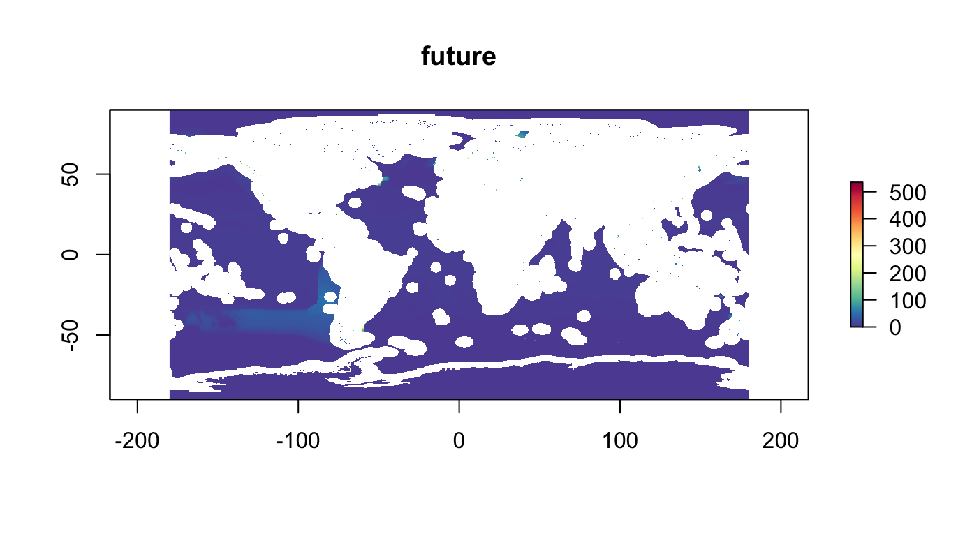
hist(r_now, main="now")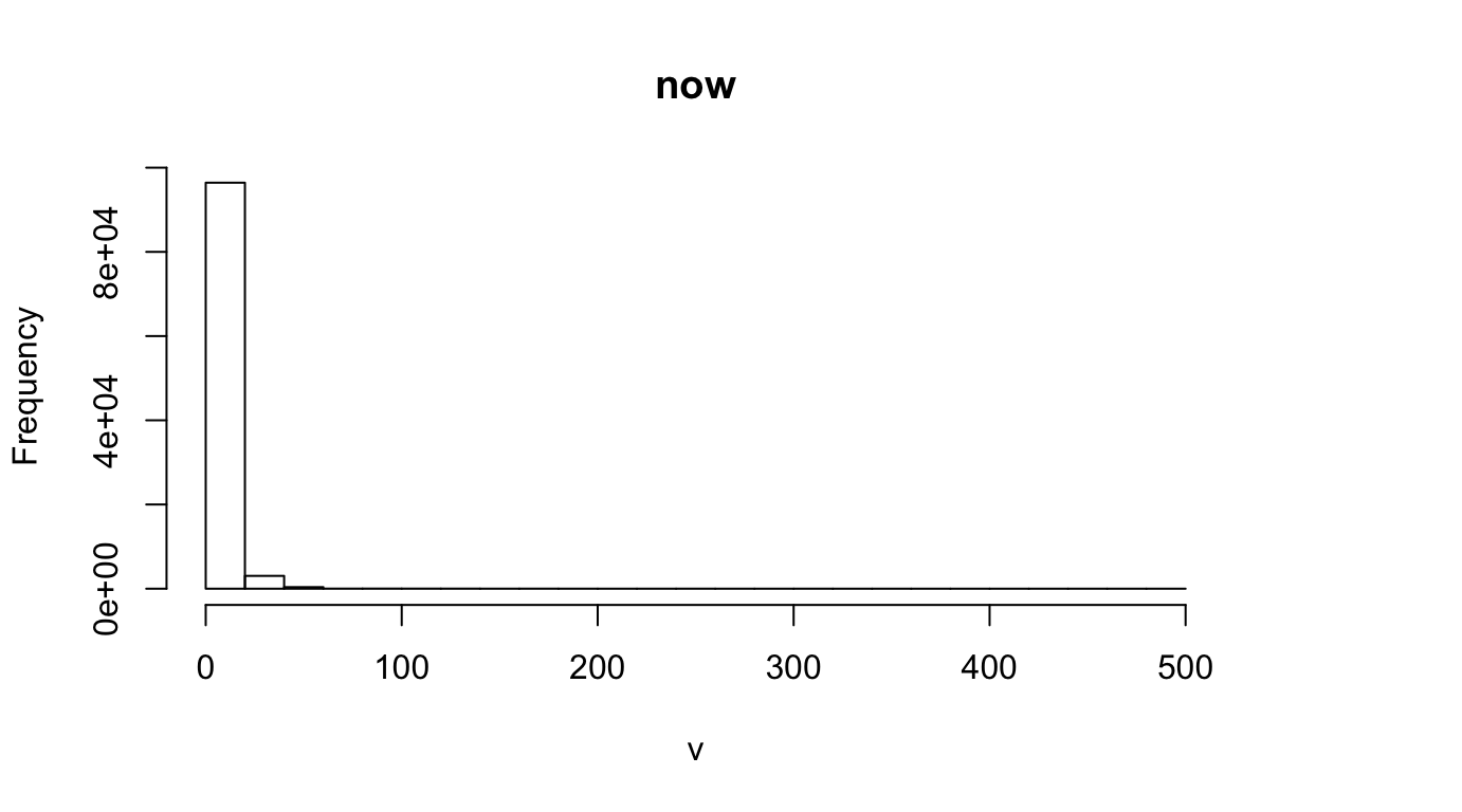
hist(r_future, main="future")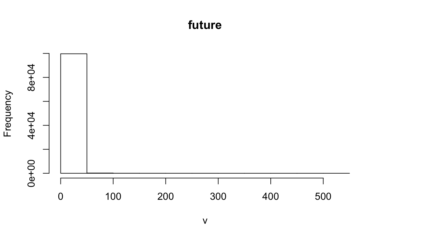
Log Now & Future
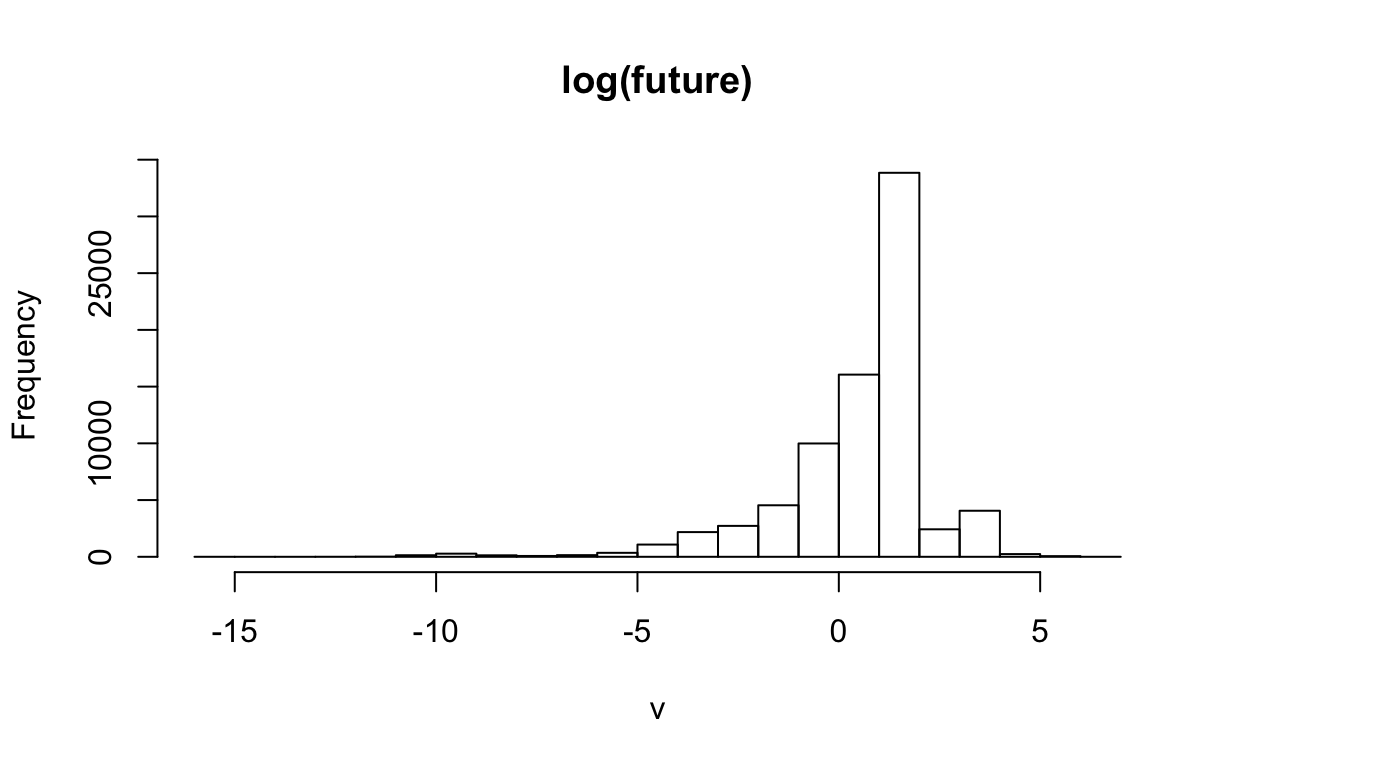
log(r_now)
#> class      : RasterLayer
#> dimensions : 360, 720, 259200  (nrow, ncol, ncell)
#> resolution : 0.5, 0.5  (x, y)
#> extent     : -180, 180, -90, 90  (xmin, xmax, ymin, ymax)
#> crs        : +proj=longlat +datum=WGS84 +no_defs +ellps=WGS84 +towgs84=0,0,0
#> source     : memory
#> names      : layer
#> values     : -Inf, 6.183969  (min, max)
log(r_future)
#> class      : RasterLayer
#> dimensions : 360, 720, 259200  (nrow, ncol, ncell)
#> resolution : 0.5, 0.5  (x, y)
#> extent     : -180, 180, -90, 90  (xmin, xmax, ymin, ymax)
#> crs        : +proj=longlat +datum=WGS84 +no_defs +ellps=WGS84 +towgs84=0,0,0
#> source     : memory
#> names      : layer
#> values     : -Inf, 6.28256  (min, max)

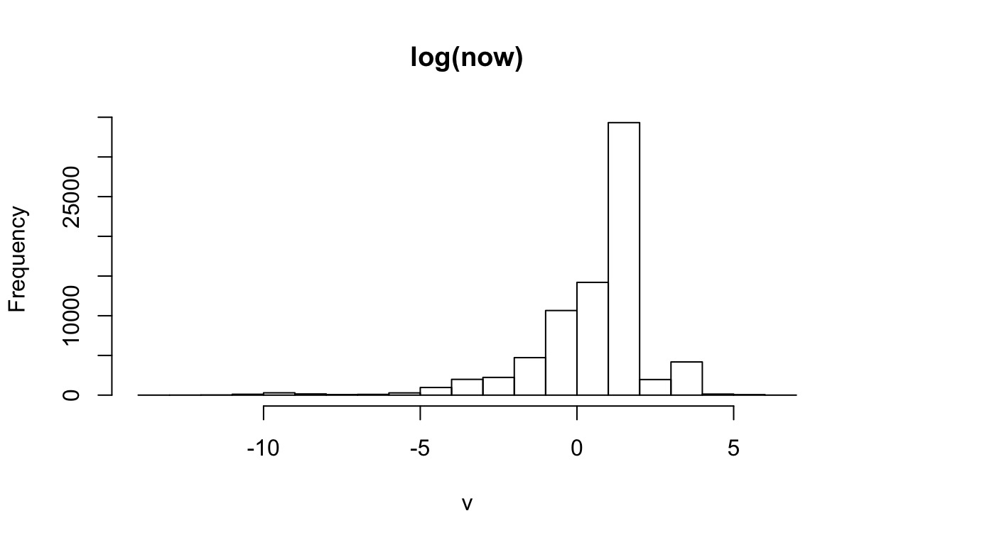
plot(log(r_now), col = cols, main="log(now)")

Difference
r_dif            <- r_future - r_now
r_dif_clamped0   <- raster(file.path(dir_ubc, "hsmcpcap851.tif"))
r_dif_clamped1   <- r_dif
r_dif_clamped1[r_dif >  2] <-  2
r_dif_clamped1[r_dif < -1] <- -1

r_dif
#> class      : RasterLayer
#> dimensions : 360, 720, 259200  (nrow, ncol, ncell)
#> resolution : 0.5, 0.5  (x, y)
#> extent     : -180, 180, -90, 90  (xmin, xmax, ymin, ymax)
#> crs        : +proj=longlat +datum=WGS84 +no_defs +ellps=WGS84 +towgs84=0,0,0
#> source     : memory
#> names      : layer
#> values     : -112.9701, 92.71387  (min, max)
r_dif_clamped0
#> class      : RasterLayer
#> dimensions : 360, 720, 259200  (nrow, ncol, ncell)
#> resolution : 0.5, 0.5  (x, y)
#> extent     : -180, 180, -90, 90  (xmin, xmax, ymin, ymax)
#> crs        : +proj=longlat +datum=WGS84 +no_defs +ellps=WGS84 +towgs84=0,0,0
#> source     : /Users/bbest/Gdrive Ecoquants/projects/bbnj/data/raw/UBC-exploited-fish-projections/hsmcpcap851.tif
#> names      : hsmcpcap851
#> values     : -1, 2  (min, max)
r_dif_clamped1
#> class      : RasterLayer
#> dimensions : 360, 720, 259200  (nrow, ncol, ncell)
#> resolution : 0.5, 0.5  (x, y)
#> extent     : -180, 180, -90, 90  (xmin, xmax, ymin, ymax)
#> crs        : +proj=longlat +datum=WGS84 +no_defs +ellps=WGS84 +towgs84=0,0,0
#> source     : memory
#> names      : layer
#> values     : -1, 2  (min, max)

plot(r_dif, col = cols, main="dif")
plot(r_dif_clamped0, col = cols, main="dif_clamped0")
plot(r_dif_clamped1, col = cols, main="dif_clamped1")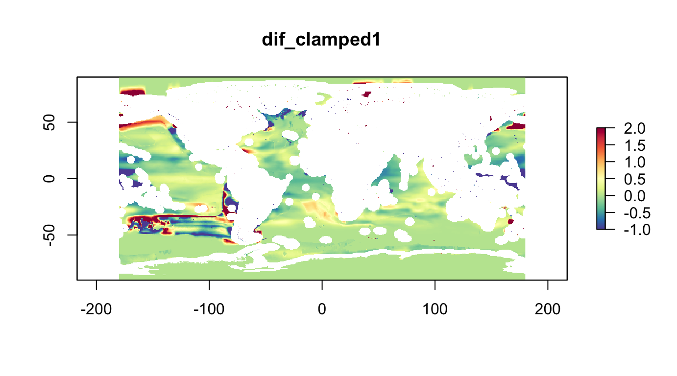
hist(r_dif, main="dif")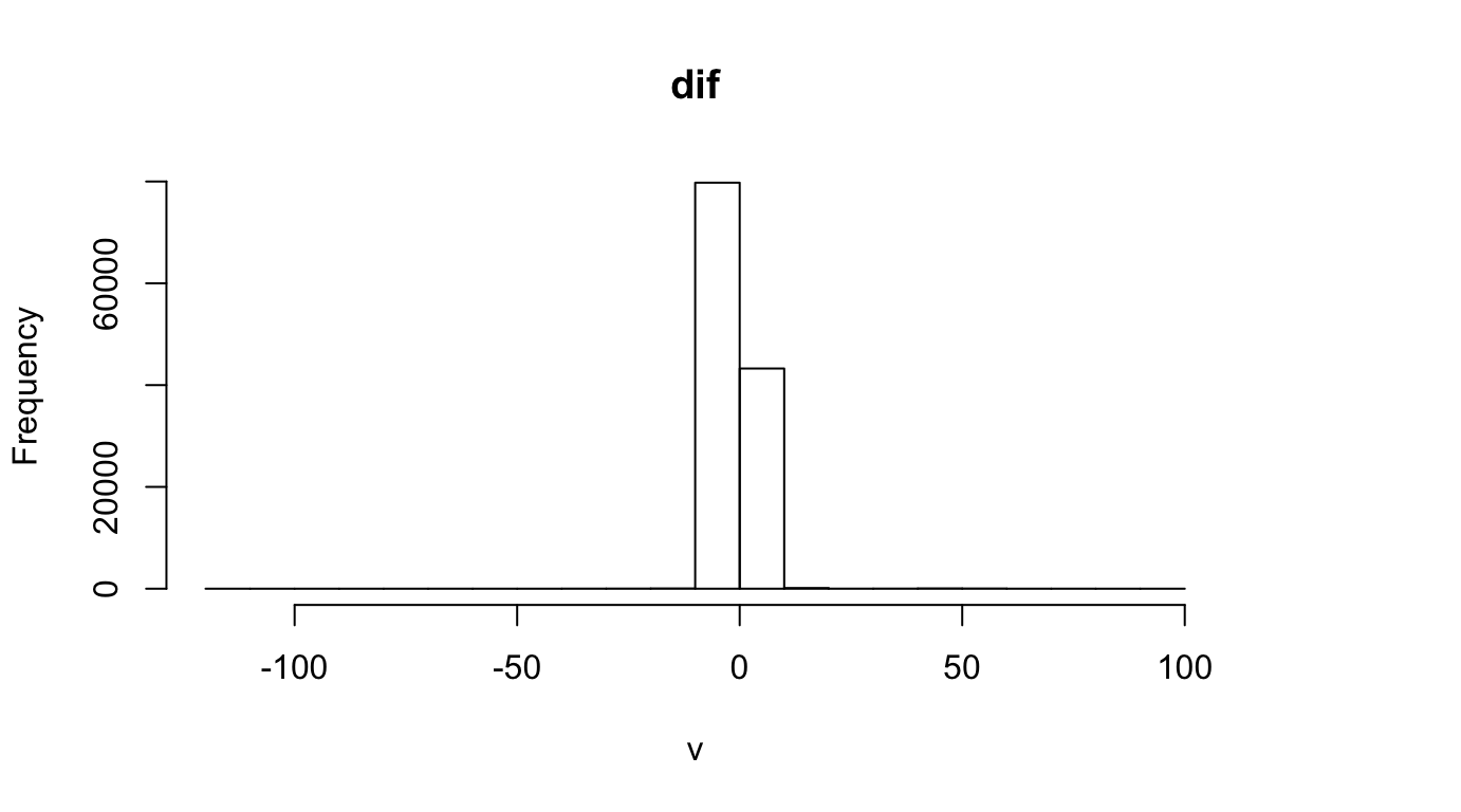
hist(r_dif_clamped0, main="dif_clamped0")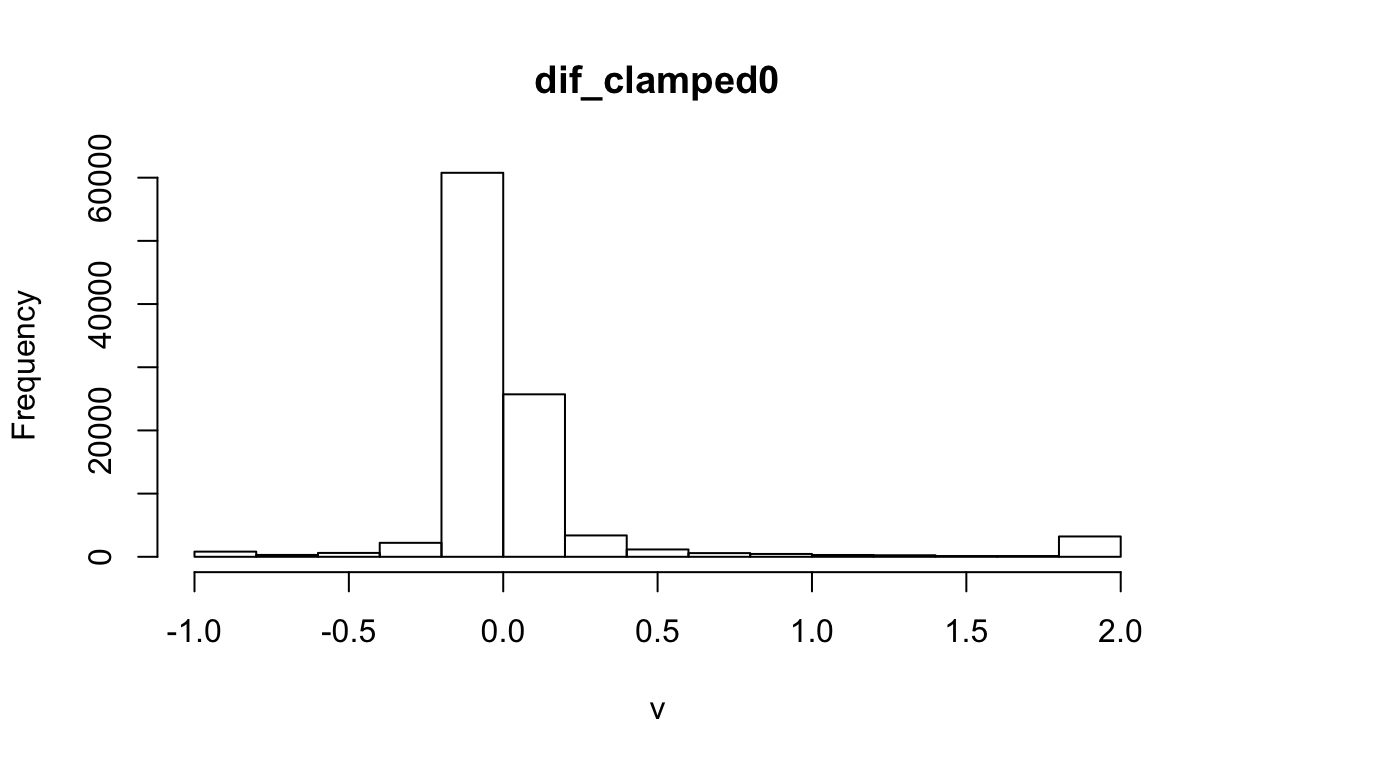
hist(r_dif_clamped1, main="dif_clamped1")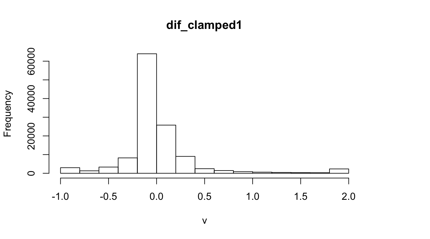
Log Difference
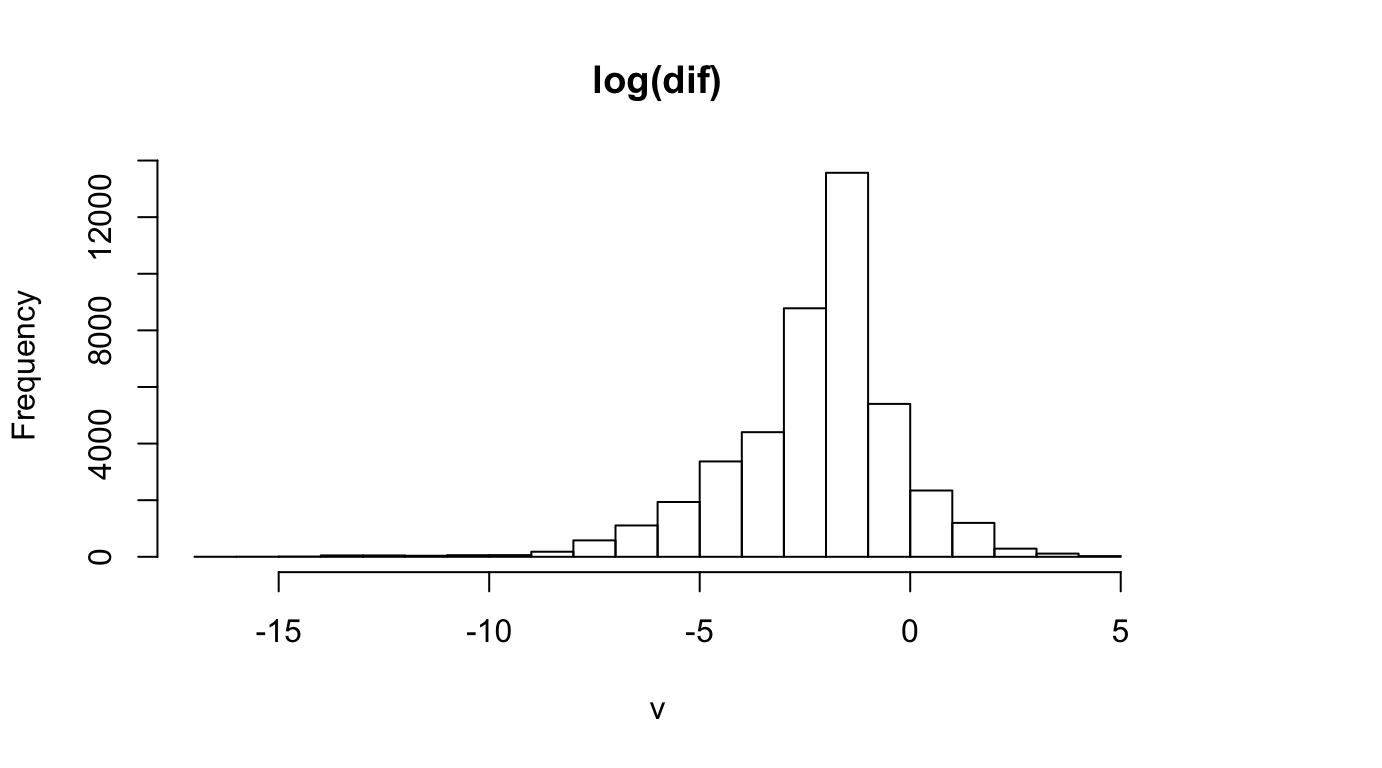
log(r_dif)
#> class      : RasterLayer
#> dimensions : 360, 720, 259200  (nrow, ncol, ncell)
#> resolution : 0.5, 0.5  (x, y)
#> extent     : -180, 180, -90, 90  (xmin, xmax, ymin, ymax)
#> crs        : +proj=longlat +datum=WGS84 +no_defs +ellps=WGS84 +towgs84=0,0,0
#> source     : memory
#> names      : layer
#> values     : -Inf, 4.529518  (min, max)

plot(log(r_dif), col = cols, main="log(now)")
Individual Fish
csvs <- list.files(dir_ubc, "*.csv$", recursive = T, full.names = T)
cat(paste(basename(csvs), collapse="\n"))
#> MCP_skipjackTuna_2010.csv
#> MCP_skipjackTuna_2050.csv
#> MCP_YellowfinTuna_2010.csv
#> MCP_YellowfinTuna_2050.csv